Aerial imaging
A view the ground will never give you
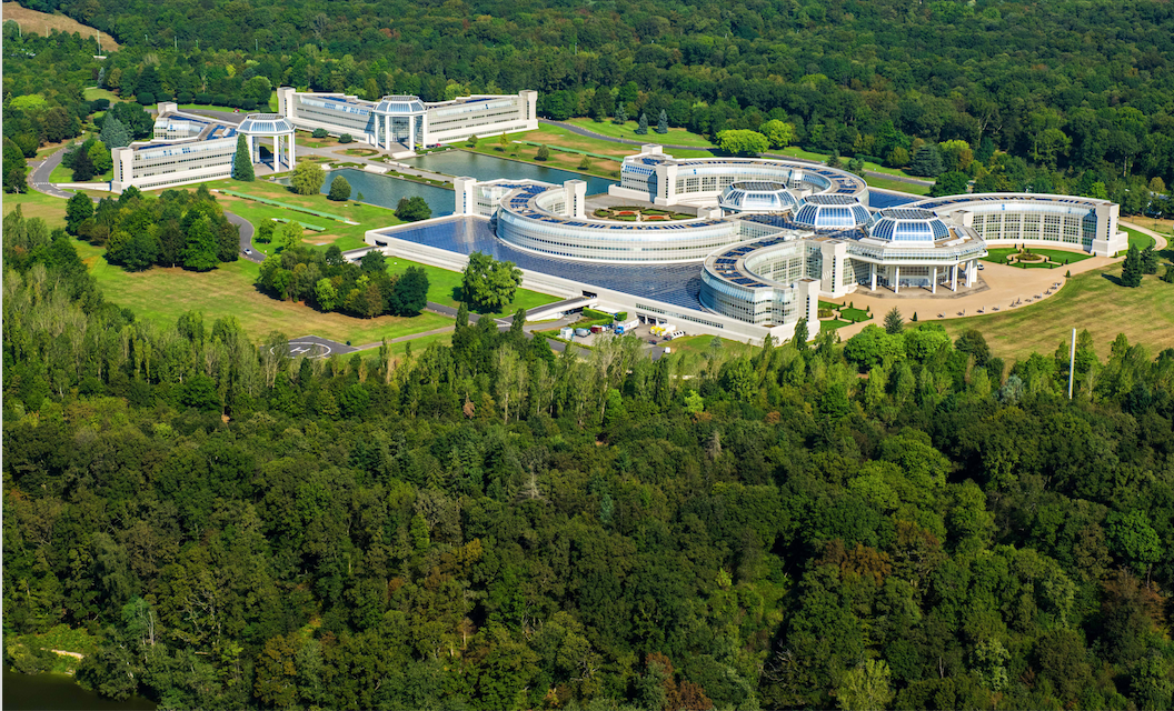
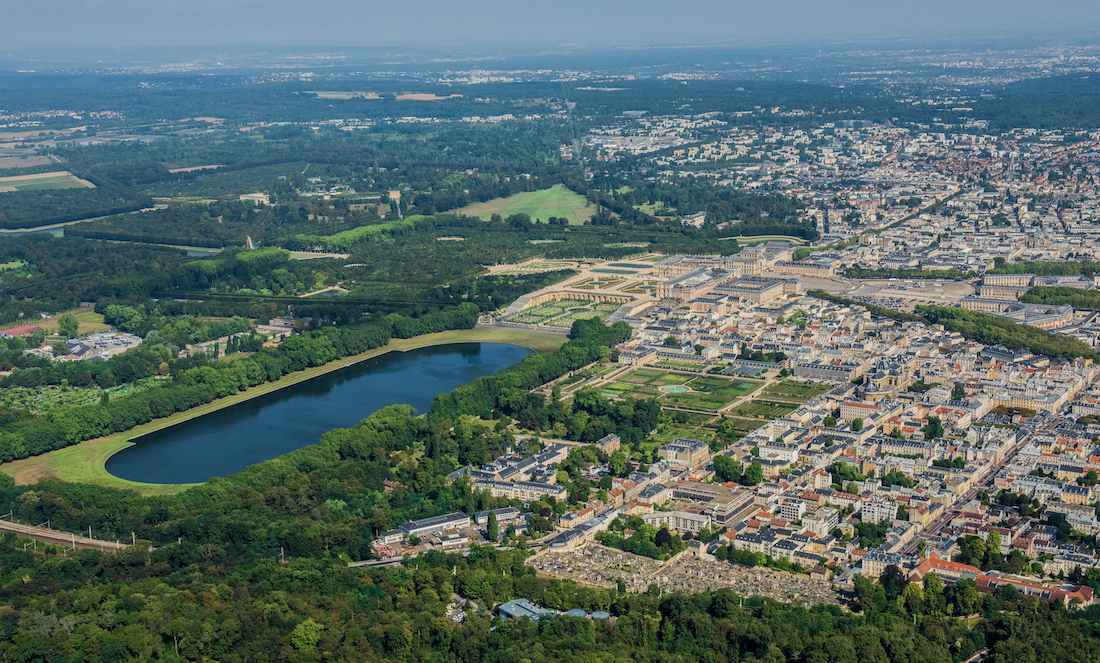
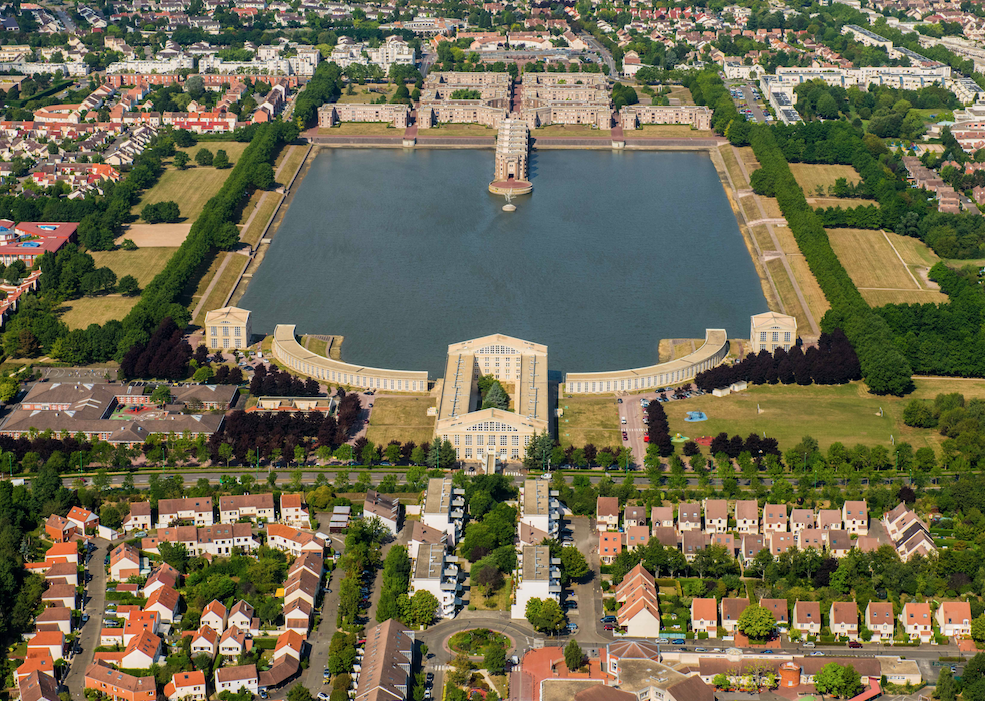
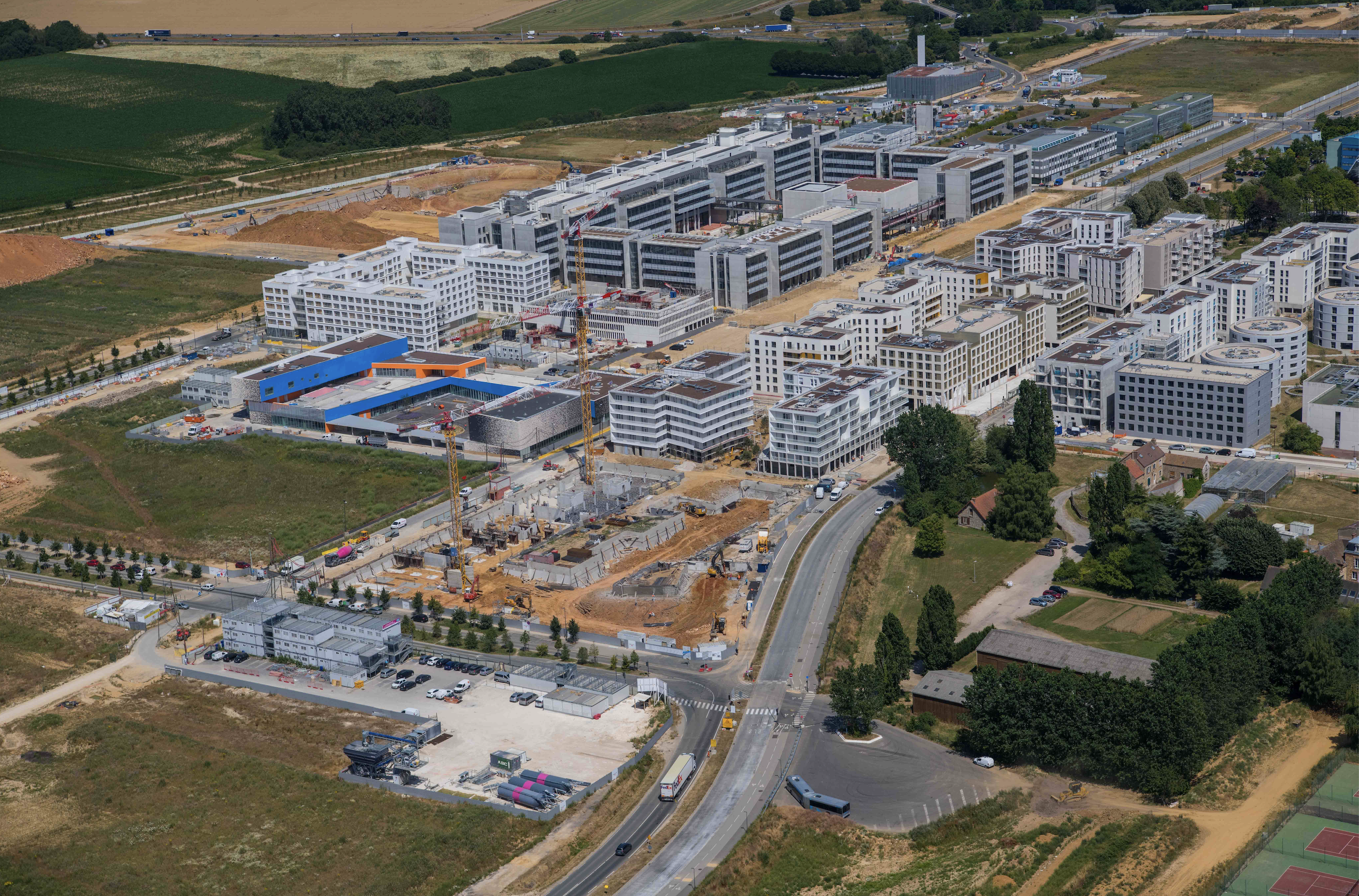
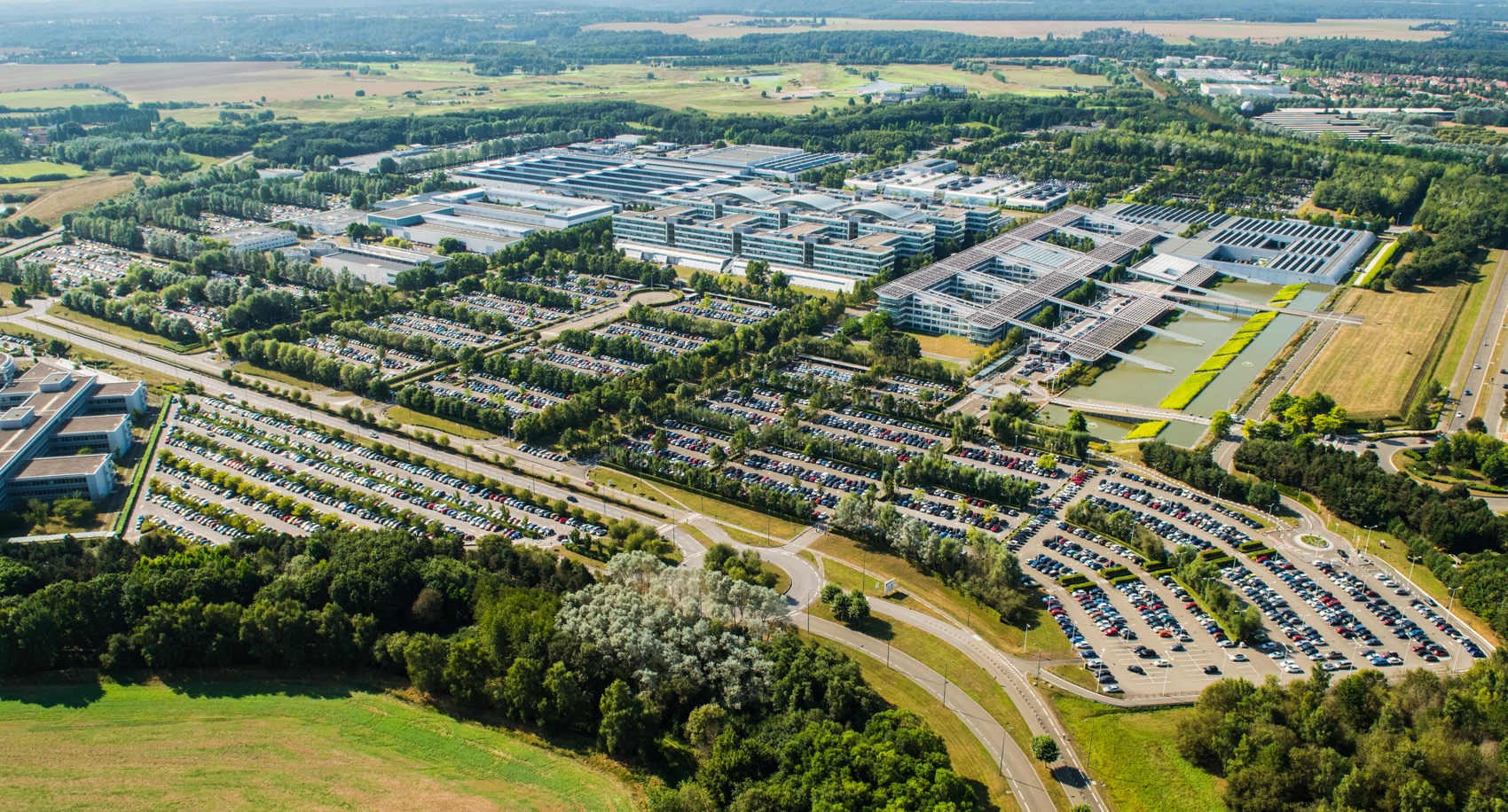
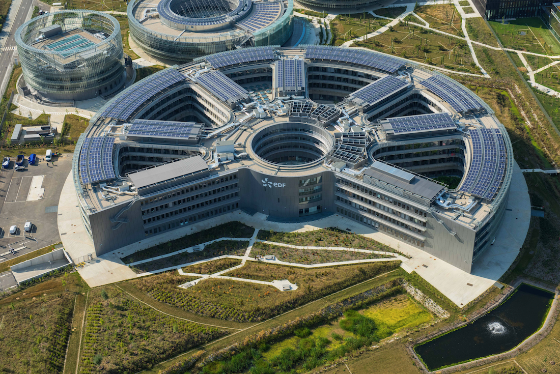
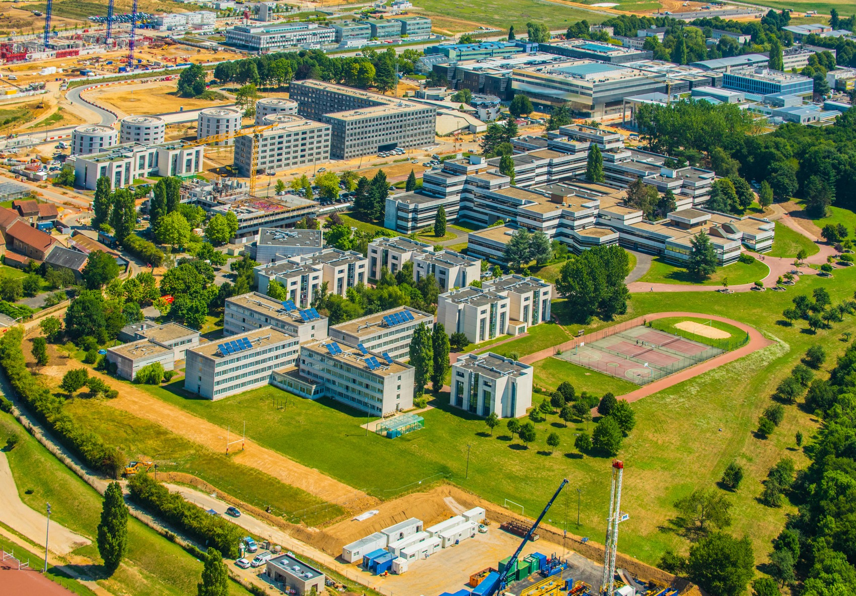
An aerial image shows an entire site in a single read: volumes, landscape integration, construction progress. It is the most eloquent visual for your communication, reports and clients.
01
Construction monitoring & mapping
Document your worksite over time with regular series, consistent angles, controlled lighting.
02
Communication & real estate
Showcase a site, an estate, a property: the aerial view conveys scale and context.
03
Tourism & heritage
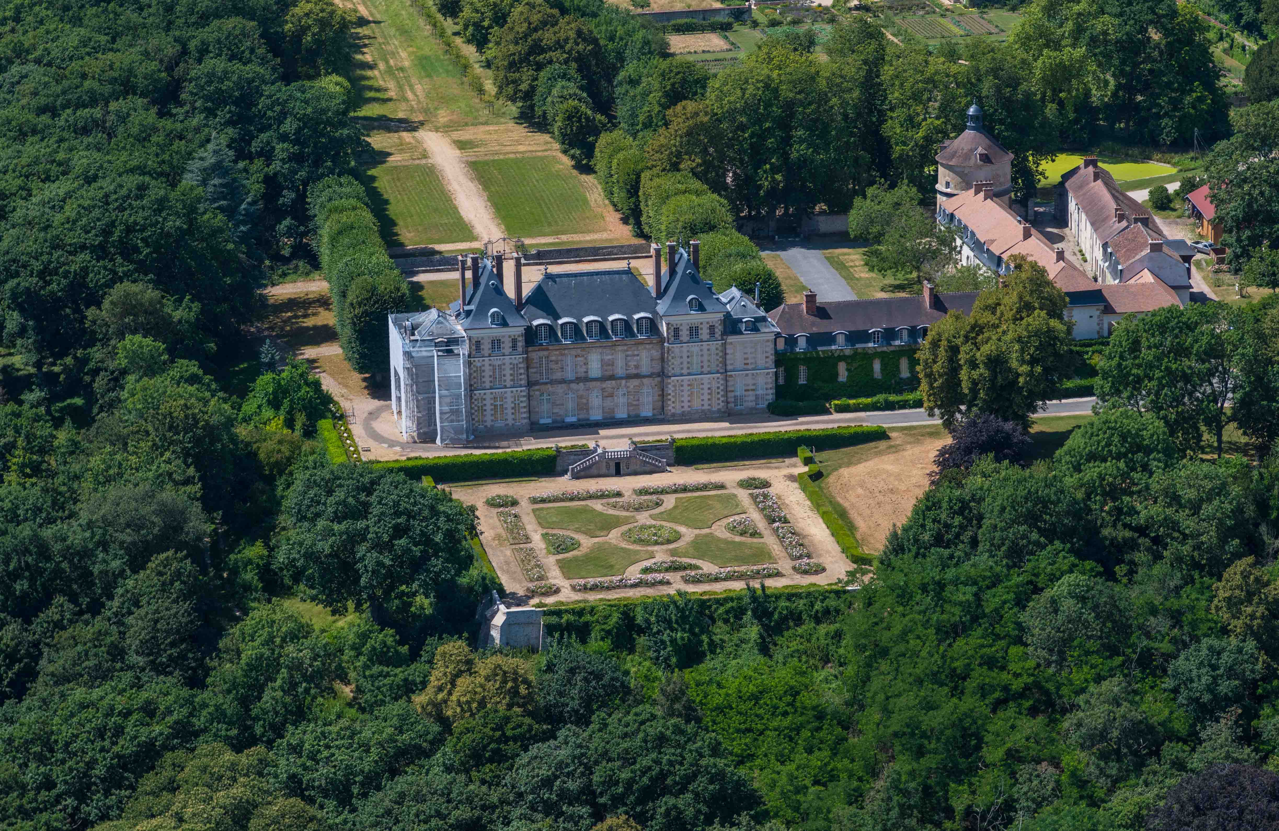
Castles, hotels, landscapes: the aerial view turns a place into a destination.
Helicopter or drone?
The right tool for the right shot
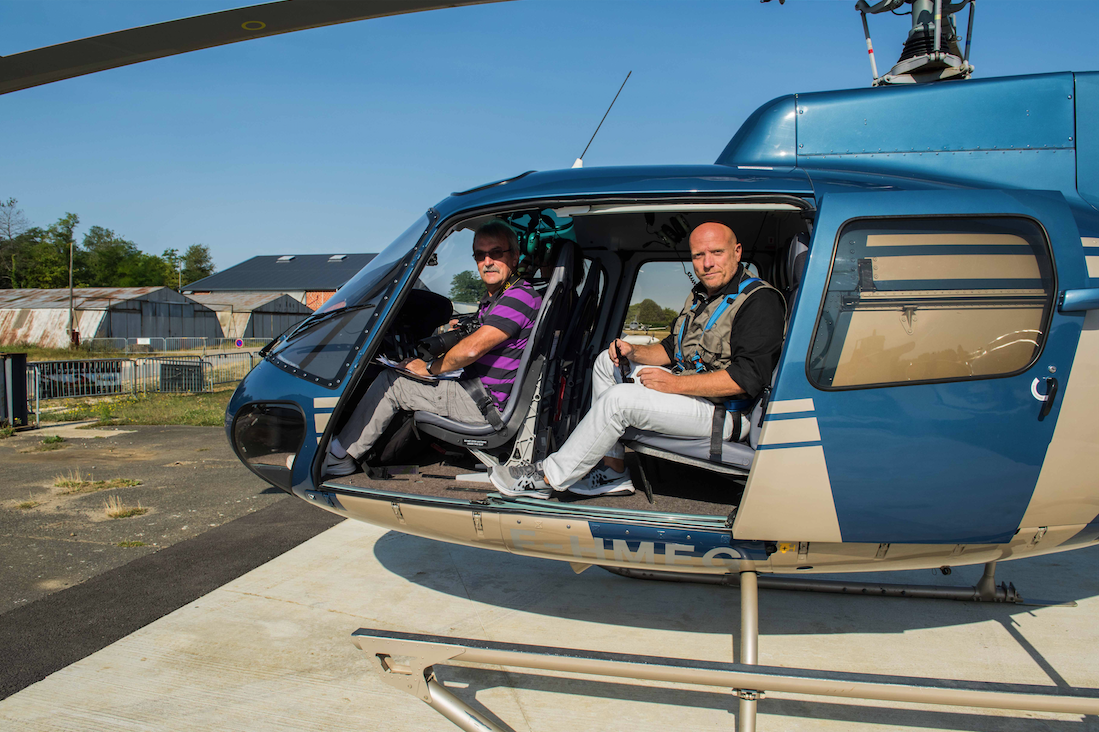
I fly both. Depending on your site, constraints and target look, I will guide you to the aircraft that delivers the best image — not the other way around.
| Helicopter | Drone | |
|---|---|---|
| Shooting altitude | High — true overview of the site and its surroundings | Low altitude (max 120 m) — closer views |
| Framing in flight | Photographer on board, live adjustments with the pilot | Ground piloting, framing on screen |
| Sensitive urban areas | Allowed — Paris and major cities accessible | Strong restrictions, waivers required |
| Large areas | Ideal — wide surfaces covered in one flight | Suited to compact sites |
| Optics | Professional full-frame SLR | Onboard sensor |
| Cost | Higher — for exceptional views | Economical — ideal for regular updates |
Aerial portfolio
Work seen from the sky
An aerial project?
Helicopter or drone: tell me about your site and I will propose the right solution with a clear quote.
Request a quote